
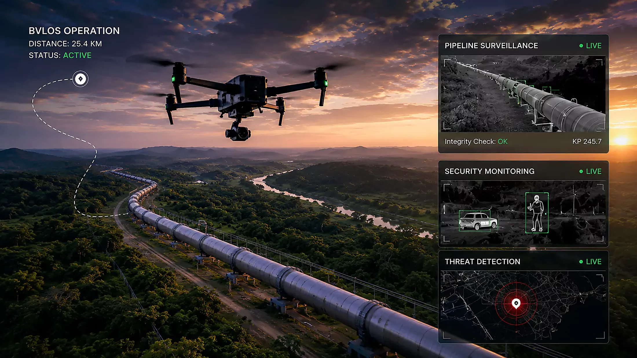
UAV / UAS solutions
Drone technology tailored for surveillance, inspection, mapping and beyond — capturing what used to need scaffold, a rope team or a shutdown.
Our solutions
Cutting-edge aerial capability, flown by certified crews.
Every flight is planned, permitted and flown to procedure. What comes back is not a folder of pictures — it is data your engineers can measure, compare and sign.
Aerial Surveillance
Live eyes over pipelines, facilities and right-of-way, without putting a crew in the field.
Jump to section ↓ U-02Drone Inspection
Close visual inspection of structures that would otherwise need scaffold, rope or shutdown.
Jump to section ↓ U-03Survey and Mapping
Orthomosaics, contour models and volumetrics accurate enough to build and bill from.
Jump to section ↓ U-04Thermal Imaging
Heat signatures that expose leaks, hot joints and losses before they become failures.
Jump to section ↓ U-05Data Processing and Analysis
Raw capture turned into a report your engineers can sign, not a folder of images.
Jump to section ↓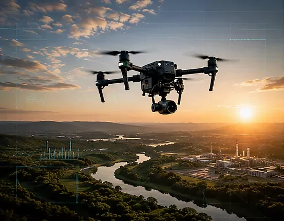
U-01
Aerial Surveillance
Live eyes over pipelines, facilities and right-of-way, without putting a crew in the field.
We bring UAV technology to security and monitoring. Patrol pipeline right-of-way, watch a facility perimeter, or track activity across a site with live downlink and recorded evidence. Flights are planned around your risk picture and flown by certified pilots.
- Pipeline right-of-way patrol
- Facility perimeter monitoring
- Incident response overwatch
- Night operations with thermal payload
- Evidence-grade recording
U-02
Drone Inspection
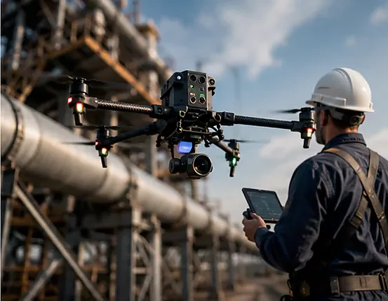
Close visual inspection of structures that would otherwise need scaffold, rope or shutdown.
A smarter, safer way to inspect critical infrastructure — bridges, power lines, flare stacks, wind turbines and pipelines. We capture close visual detail at height without removing production from service or putting a technician on a rope.
- Flare stack and derrick inspection
- Bridge and structural survey
- Power line and tower inspection
- Storage tank roof and shell
- Confined and hard-to-reach areas
U-03
Survey and Mapping
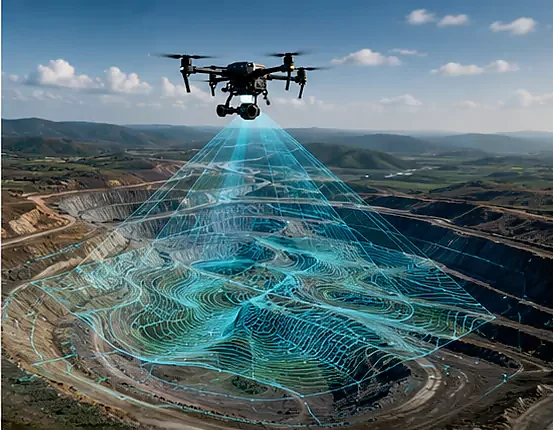
Orthomosaics, contour models and volumetrics accurate enough to build and bill from.
Accurate mapping and survey data underpin decisions in construction, urban planning and agriculture. We fly ground control, process to orthomosaic and digital surface model, and deliver in the formats your engineers already use.
- Orthomosaic mapping
- Digital surface and terrain models
- Volumetric stockpile calculation
- Route and corridor survey
- As-built verification
U-04
Thermal Imaging
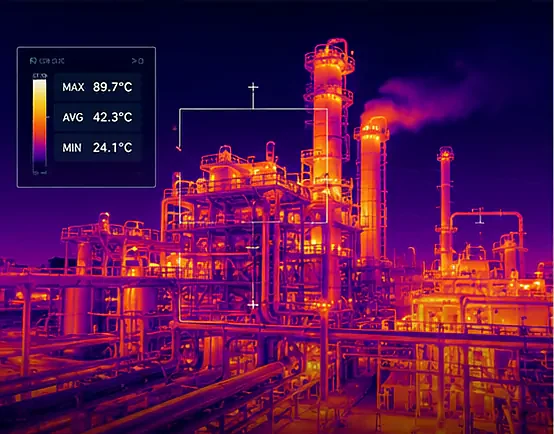
Heat signatures that expose leaks, hot joints and losses before they become failures.
Thermal imaging detects heat signatures and temperature variation, which makes it valuable across agriculture, infrastructure inspection and security. We use it to find what the eye cannot: a failing connection, a buried leak, a compromised insulation run.
- Electrical connection surveys
- Insulation and refractory loss
- Leak detection
- Solar array fault finding
- Night-time security sweeps
U-05
Data Processing and Analysis
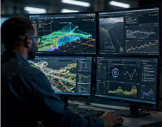
Raw capture turned into a report your engineers can sign, not a folder of images.
We provide processing and analysis that turns raw aerial capture into meaningful reports. Point clouds, measurements, defect registers and change detection between flights — delivered in the format your integrity or planning team works in.
- Photogrammetric processing
- Point cloud generation
- Defect registers with coordinates
- Change detection between surveys
- GIS-ready deliverables
Tell us what the job needs.
Send a scope, a drawing or a rough idea. We will come back with a method, a crew and a price.