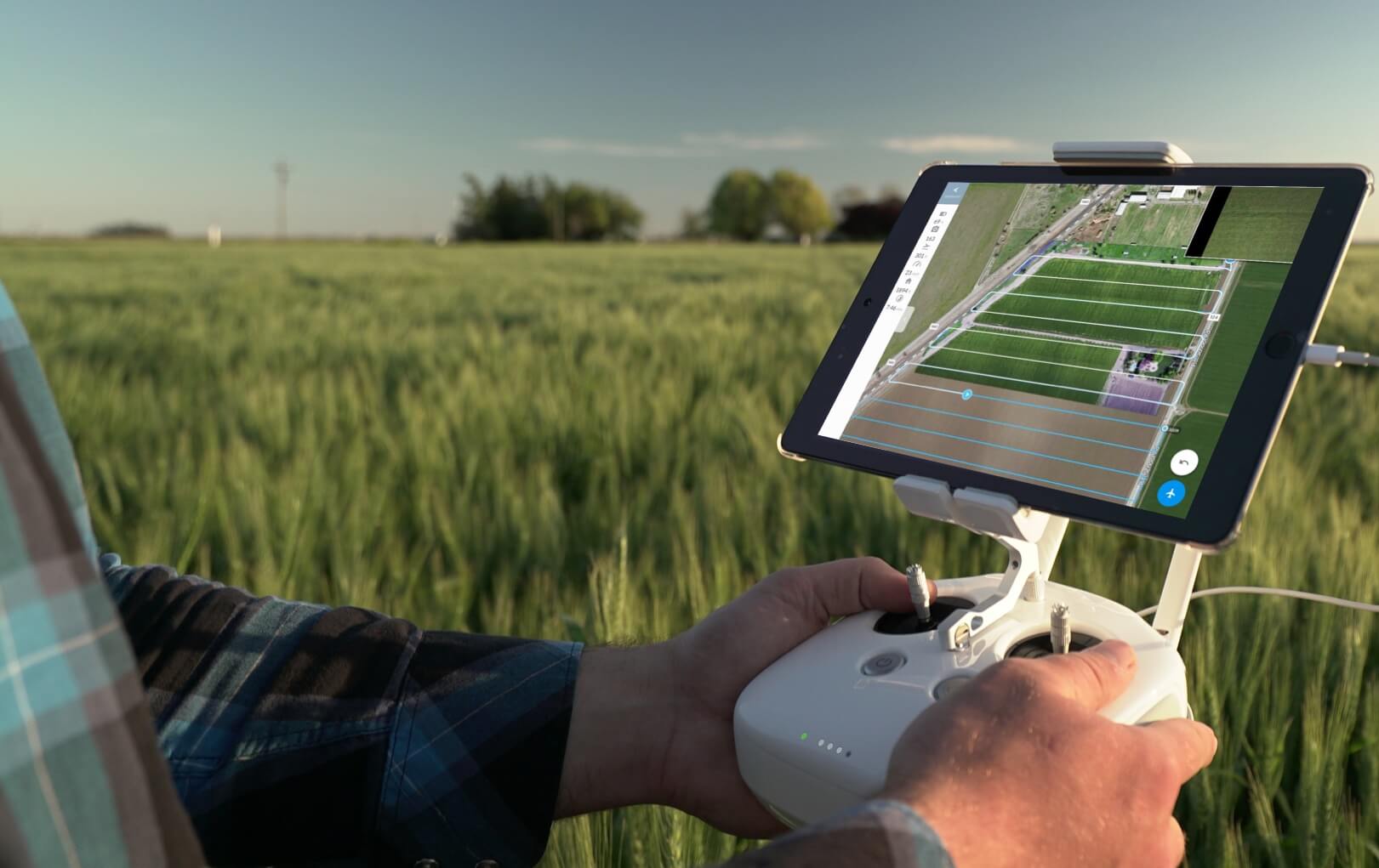
Accurate mapping and survey data are essential for informed decision-making in construction, urban planning, and agriculture. Our drones offer high-resolution 2D and 3D mapping, terrain analysis, and geospatial data collection to meet your needs.
“Accurate data. Better decisions.”
Key Features:
High-Precision Mapping: Generate detailed and accurate maps of large areas.
3D Modeling: Create realistic, interactive 3D models for enhanced planning.
Applications: Ideal for urban planning, mining surveys, agricultural mapping, and construction projects.
Time and Cost Savings: Collect data faster and more affordably than traditional methods.
Whether you need topographical maps, volumetric measurements, or site analysis, our drones deliver unparalleled results.